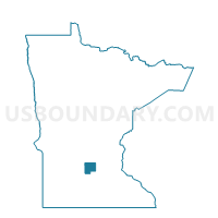
Winsted Voting District, McLeod County, Minnesota
About
Outline

Summary
| Unique Area Identifier | 602998 |
| Name | Winsted Voting District |
| County | McLeod County |
| State | Minnesota |
| Area (square miles) | 1.92 |
| Land Area (square miles) | 1.91 |
| Water Area (square miles) | 0.01 |
| % of Land Area | 99.36 |
| % of Water Area | 0.64 |
| Latitude of the Internal Point | 44.95949920 |
| Longtitude of the Internal Point | -94.05143100 |
Maps


Graphs
Select a template below for downloading or customizing gragh for Winsted Voting District, McLeod County, Minnesota